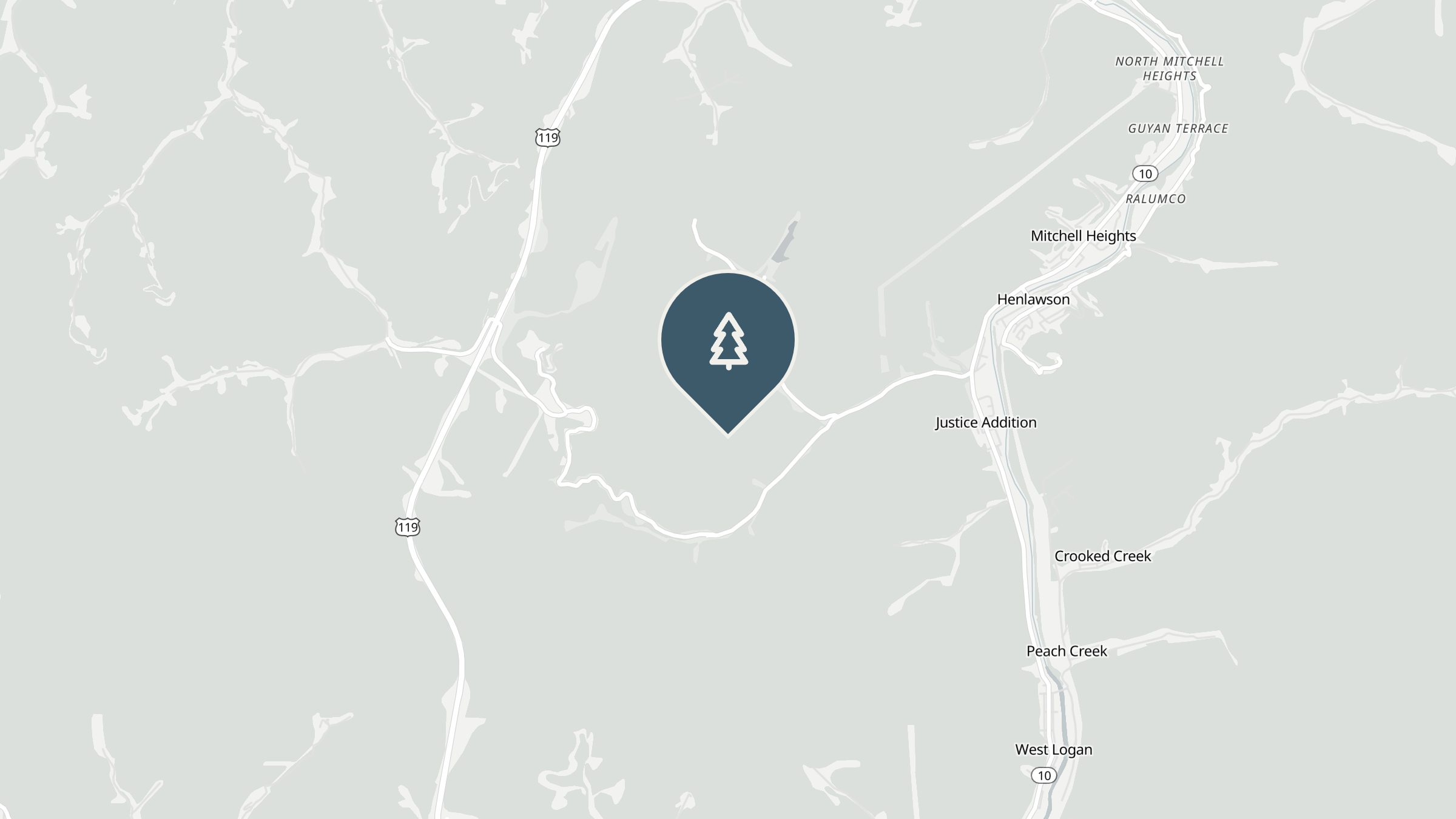
An 83-mile loop through Lincoln and Logan County coal country, anchored by Chief Logan State Park and the Little Coal River. A flexible half-day or full-day ride depending on how long you linger.

West Virginia Bikers publishes routes as a guide, not a guarantee. Roads change, conditions change, and GPX data can be wrong — check the weather, judge the surface for yourself, and ride your own ride. Road conditions, closures, traffic and wildlife are yours to assess on the day. Riding a motorcycle carries inherent risk. We do not verify or warrant the accuracy of any route, map or GPX file, and you ride at your own risk.
West Hamlin sits quiet most days, a small Lincoln County town on the Guyandotte River, and it's an easy place to miss. It's also a good place to start a loop, because from here the road drops you straight into Hatfield-McCoy coal country without much warning.
Head south toward Chapmanville and the road starts working. Logan County roads follow the water the way they always have here, curve for curve, and by the time you're deep into this loop you're deep into coal country history too. This is a short loop, easy to underestimate, but the roads don't let up much.
Plan a half day, or stretch it into a full one if you stop at Chief Logan.
Built by riders
Gravel in the turns, a road closure, the best lunch stop on the loop — riders post it in the group first.
Join the discussion